Land Information New Zealand (LINZ) West Coast dataset expanded along west coast of South Island, NZ
OpenTopography has updated the LINZ dataset over Westport, New Zealand with new data that now covers over 6000 km2 along the west coast of the South Island. This collection is part of the South Island, West Coast regional lidar survey, and is the first dataset that was collected as part of the Provincial Growth Fund (PGF)-LiDAR project. The PGF-LiDAR project commenced in 2018 after the Government made co-funding from Kānoa - Regional Economic Development & Investment Unit (previously known as the Provincial Development Unit) available over five years to support regions across New Zealand to obtain a baseline elevation dataset. The dataset, "West Coast, New Zealand 2020-2022" has an average point density of 9.5 pts/m2, and was funded by West Coast Regional Council, with data management by Toitu Te Whenua Land Information New Zealand. To read more about lidar, the PGF, and how this Westport dataset is being utilized, see this news article.
This dataset is available through on ongoing collaboration between OpenTopography and Land Information New Zealand (LINZ), that makes OpenTopography the primary distribution platform for point cloud data collected as part of the LINZ national elevation program.
Get the data:

Updated lidar coverage now covers over 6000 km2 along the western coast of the South Island.

Point cloud colored by elevation of an agricultural landscape.

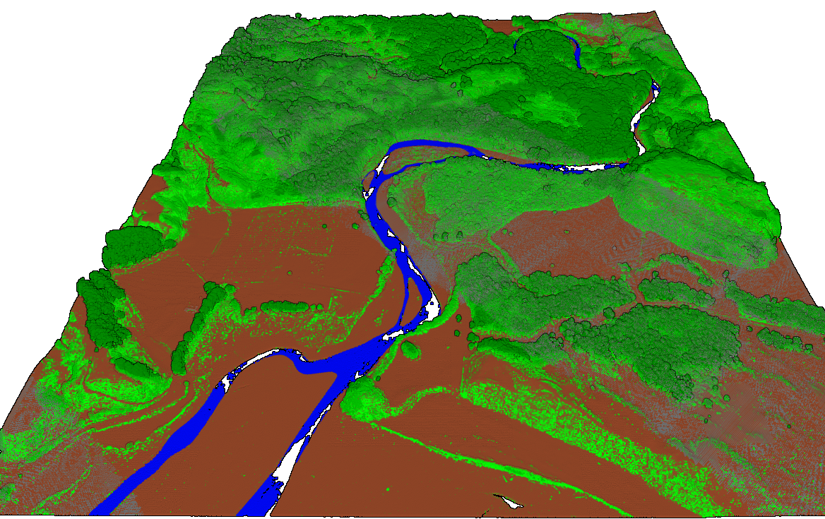
Coastal estuary point cloud colored by classification where water is blue, ground is brown, and vegetation is green.
